Cape Banks Island walk
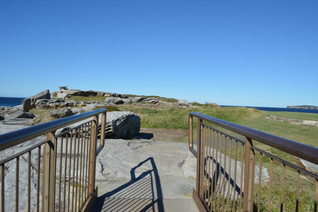
A 45 mins, 1.5km Return walk | Grade 4/6On this walk you will explore Cape Banks island surrounded by the aquaitic reserve and a beautiful coast line of Kamay Botany Bay NP. Starting from the end of Cape Banks Rd you pass a historic gun emplacement then explore the grassy coastline down to the water and edge of NSW Golf Course. There is a foot bridge to give access to the island and a novel T for the golf course. The island has a series of faint rough tracks that allow you to explore the bald island and views.
Full Naturally Accessible notes available
Download notes and maps http://www.wildwalks.com/bushwalking-and-hiking-in-nsw/botany-bay/cape-banks-island-walk.html
Driving to the start
[map]-33.9934615216,151.249743849 (Start);-33.99346,151.24974 -33.99376,151.24981 -33.99381,151.24981 -33.99381,151.24982 -33.99380,151.24996 -33.99378,151.25012 -33.99379,151.25027 -33.99381,151.25041 -33.99384,151.25058 -33.99389,151.25076 -33.99392,151.25088 -33.99395,151.25101 -33.99402,151.25113 -33.99409,151.25123 -33.99416,151.25130 -33.99420,151.25129 -33.99426,151.25127 -33.99435,151.25118 -33.99443,151.25106 -33.99452,151.25095 -33.99461,151.25080 -33.99470,151.25068 -33.99479,151.25058 -33.99488,151.25049 -33.99496,151.25041 -33.99503,151.25034 -33.99502,151.25034 -33.99517,151.25029 -33.99531,151.25024 -33.99545,151.25017 -33.99563,151.25005 -33.99588,151.24981 -33.99601,151.24972 -33.99614,151.24969 -33.99625,151.24967 -33.99640,151.24959 -33.99659,151.24942 -33.99675,151.24926 -33.99681,151.24924 -33.99699,151.24928 -33.99719,151.24923 -33.99735,151.24923 -33.99756,151.24921 -33.99767,151.24911 -33.99774,151.24901 -33.99785,151.24893 -33.99793,151.24889 -33.99807,151.24885 -33.99811,151.24877 -33.99811,151.24875 -33.99828,151.24876 -33.99849,151.24877 -33.99857,151.24874[/map]